Welcome to our website's new home!
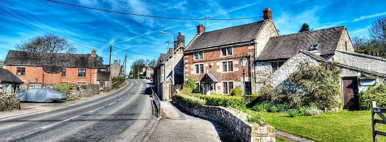
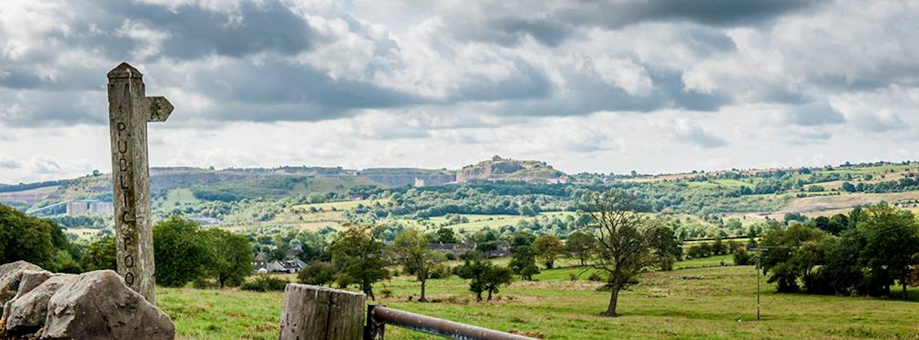
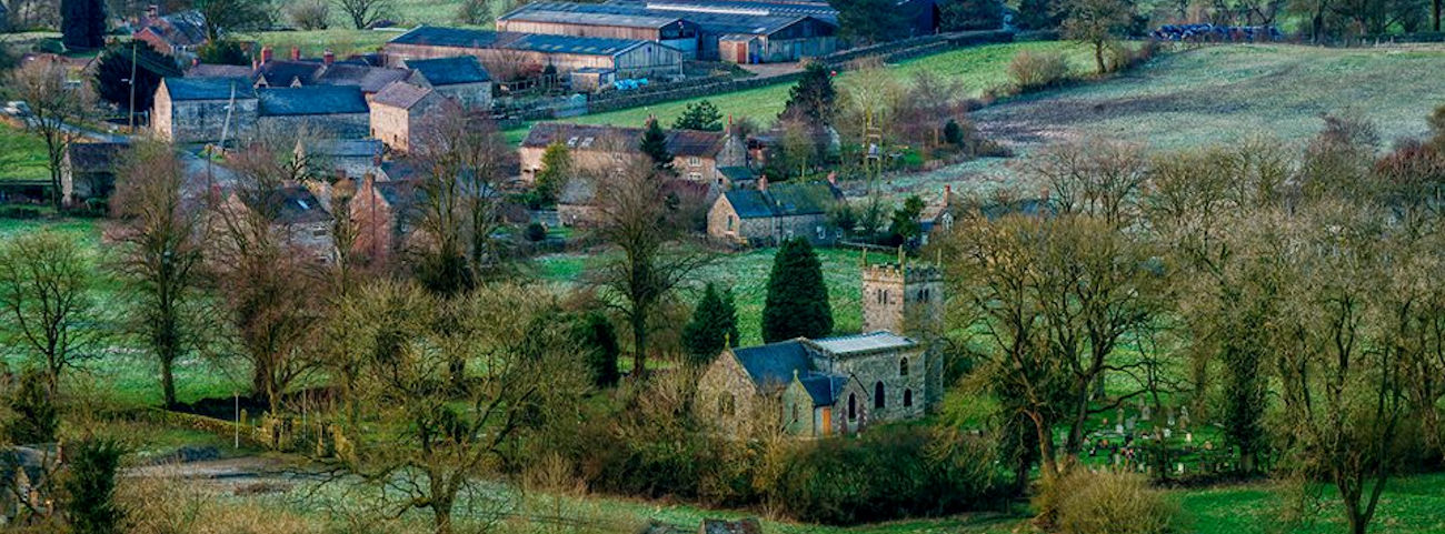

The Parish of Waterhouses lies South of the Staffordshire Peak District and is split by the borders of the Peak District National Park and the Staffordshire Moorlands, lying eight miles from both Leek and Ashbourne.
The Parish of Waterhouses was created in 1934, when the villages of Waterhouses, Calton, Cauldon, Waterfall, Winkhill and Stoney Lane merged. The village of Waterhouses is on the River Hamps, a tributary of the River Manifold, and at the southern end of the track of the former Leek and Manifold Valley Light Railway (now the Manifold Way, a walk- and cycle-path), which ran to Hulme End.
On the edge of the dramatic scenery of the Peak Park, the Waterhouses Parish is a popular place for visitors to the area. It offers a doorway to the beauty of the Peak District National Park, uninterrupted by traffic via many footpaths or the aforementioned Manifold Way Cycle path and is also a common respite stop for visitors to Alton Towers.